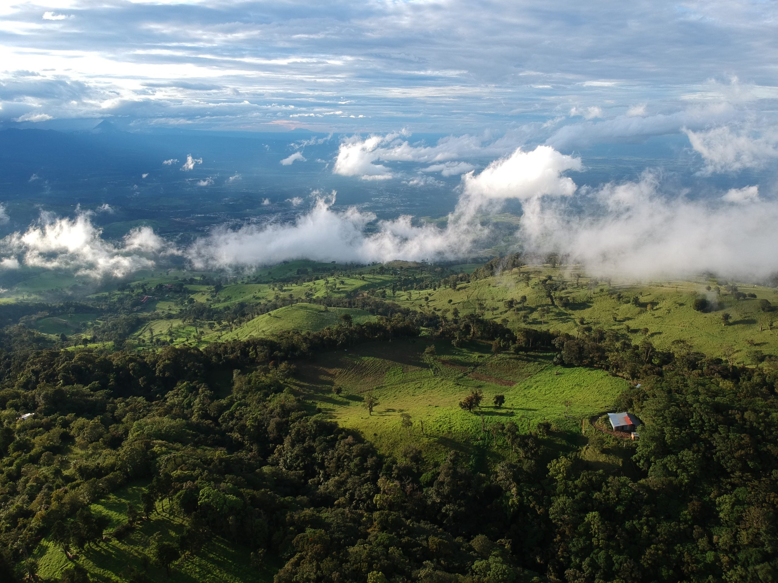
Drive anywhere near Atenas and you will see the slogan on the back of the buses: el mejor clima del mundo. The best climate in the world. It has been painted on those buses for three decades, it turns up in the name of a restaurant, and it appears in nearly every property listing written about the town. It is also the reason a great many buyers looking at Costa Rica’s western Central Valley never look past Atenas.
The Puriscal climate belongs to the same elevation band that produces the weather Atenas is famous for. Puriscal sits about 390 meters higher. Understanding what that difference does, and where the famous claim actually came from, is worth an hour before you decide what a climate premium is worth paying for.
The National Geographic claim does not survive a phone call
The story is repeated everywhere. National Geographic named Atenas the best climate in the world, usually dated to 1994. Lonely Planet has referenced the attribution. Regional real estate sites repeat it constantly, often as a settled fact. An Atenas-based real estate writer eventually went to the source and asked National Geographic directly. According to her published account, the reply she received in writing was that the magazine has never made that assertion about Atenas and has never published an article about the town at all. The most plausible origin she was able to trace, offered by a San Jose marketing professional, was a Costa Rican government tourism promotion effort in the mid-1990s.
None of that means Atenas has bad weather. It has genuinely pleasant weather, and the people who live there are not wrong to like it. What it means is narrower and more useful: the price premium attached to the phrase rests on a slogan rather than on a meteorological finding. Premiums built on slogans are worth examining when you are the one paying them.
What actually produces the climate is elevation
Costa Rica sits between roughly 8 and 11 degrees north of the equator. Day length barely moves across the year and neither does the sun angle, which is why temperature here is not really a seasonal variable at all. What changes temperature in Costa Rica is altitude. The working rule is the standard atmospheric lapse rate: about 6.5 degrees Celsius of cooling for every 1,000 meters of elevation gained, or roughly 3.5 degrees Fahrenheit per 1,000 feet. It is an approximation rather than a measurement, and local terrain bends it, but it explains the map better than anything else.
Below about 500 meters is tierra caliente, the coastal and lowland zone, where daytime temperatures run in the high 70s to low 90s Fahrenheit and air conditioning is not optional. From roughly 500 to 1,500 meters is tierra templada, and that band contains essentially every town in Costa Rica with a climate reputation. Atenas, Grecia, Escazu, Santa Ana, San Jose itself and Puriscal are all in it. The band is the product. The town names are branding on top of it.
Where Puriscal sits
The district of San Antonio de Puriscal registers an elevation of 1,090 meters, or 3,580 feet. Santiago, the canton seat, sits at 1,105 meters. Atenas town is 698 meters, or 2,290 feet, on the western edge of the Central Valley, with the wider canton ranging from 300 meters up to about 1,200 meters in its higher districts. Applied to a difference of roughly 390 meters, the lapse rate predicts Puriscal running something like 2 to 2.5 degrees Celsius cooler than Atenas town, or about 4 degrees Fahrenheit. That sounds trivial written down.0
In practice it shows up almost entirely at night. Atenas nights are commonly described as dropping into the high 50s and low 60s Fahrenheit. Puriscal, higher, sits at or below that. The important part is what both have in common. Neither needs heating and neither needs air conditioning. That is the actual definition of the band, and it is the single most consequential climate fact for anyone building here.
The rain is the part nobody paints on a bus
Puriscal averages roughly 1,963 millimeters, or 77 inches, of rain a year on the 1990 to 2020 normals. The pattern is the standard Pacific-slope one: a dry season from December through April and a green season from May through November, with October the wettest month at something near 341 millimeters. January is the figure worth sitting with. The normals put it at approximately 5 millimeters across three rainy days. A month with three rainy days and almost no accumulation is a real dry season rather than a marketing dry season, and it is the reason the December-to-April window is when this part of the country is bought, toured and photographed.
One caution, and it applies to this post as much as any other. Published annual rainfall figures for individual Central Valley towns vary enormously between sources, because station coverage is uneven and different publishers pull from different records over different periods. Town-to-town rainfall comparisons found on real estate sites are close to worthless. If rainfall genuinely matters to your project, and on a hillside it does, request the station record from the Instituto Meteorologico Nacional rather than trusting a number you read somewhere, including this one.
Why this matters when you are buying land rather than a house
The build specification
A site in this band does not need mechanical heating or cooling in the base specification. On the coast, air conditioning is a capital line and then a permanent operating cost, and residents in coastal Costa Rica routinely report electricity bills that dwarf anything seen in the interior. Removing HVAC from a spec home changes the build cost, the electrical design and the monthly cost of ownership for whoever buys it. Across 20 or 30 units it is not a rounding error.
The exit market
Whoever eventually buys a finished lot in this part of the country is buying the elevation band, whether or not they would describe it that way. They want the sleeping temperature, the absence of air conditioning and the dry season. Those are properties of altitude, not of a particular canton’s marketing budget.
The premium
Finished view lots in the better-known Central Valley towns transact well above raw land in less-marketed cantons at the same or greater elevation. Some of that gap is real and reflects genuine differences in infrastructure, services and drive times. Some of it is the accumulated value of a slogan. Telling the two apart is most of the work in a land acquisition, and it is worth doing with the pricing data rather than the brochures. We have looked at what Central Valley view lots actually sell for and at how prices move from Escazu outward in separate posts.
What you still have to verify parcel by parcel
District and canton elevations are administrative figures attached to a district center. They are not the elevation of any particular piece of land, and on hillside terrain a single large parcel will span a meaningful range from its lowest corner to its highest. Before treating any climate claim as applying to a specific property, establish the following:
- The actual elevation range across the parcel, taken from the plano catastrado or from GPS readings at the high and low corners
- Aspect, meaning which way the slope faces, which determines whether a lot gets morning or afternoon sun and how hot it runs at 3 p.m.
- Exposure to prevailing wind along ridge lines, which is pleasant on some sites and relentless on others
- How cloud behaves in the green season, since higher ground catches more of it and a ridge that is spectacular in February can sit inside cloud for stretches of September
- How the ground actually drains in October, which is a slope and soil question as much as a rainfall question
The last two cannot be answered from a spreadsheet. The only reliable method is to stand on the land during the wettest part of the year, which is precisely when almost nobody visits. That is inconvenient, and it is also the single cheapest piece of diligence available on a hillside property.
The short version
The climate that made one Costa Rican town famous is a product of sitting in the 500-to-1,500-meter band, not a product of anything unique to that town. Puriscal sits in the same band, roughly 390 meters higher, with cooler nights, a genuine December-to-April dry season and the same absence of any need for heating or cooling. The claim that started it all appears to have come from a tourism campaign rather than from a magazine.
For a buyer, that is not a reason to dismiss the well-known towns. It is a reason to price the climate rather than the slogan. If you are working through the wider picture, our posts on drive times to San Jose and the airport and on what San Antonio de Puriscal actually has for services cover the two questions that usually come next.