Every property conversation outside the San Jose metropolitan area eventually arrives at the same question, and the answers are unusually inconsistent. You will hear 45 minutes. You will hear two hours. Both are said with confidence. The published figures are these. Route-planning services put the road distance from Puriscal to San Jose at roughly 66 to 68 kilometers, or about 41 to 42 miles, with a driving time near an hour and 25 minutes.
To Juan Santamaria International Airport, the road distance is around 63 kilometers, or 39 miles, with a comparable time of about an hour and 27 minutes. So: call it 90 minutes to either, as a planning assumption. Three caveats attach to that number, and they matter more than the number itself.
These are aggregate estimates, not measured drives. They are generated by routing software from posted speeds and road classifications. They do not model rush hour, rain, or the behavior of a truck on a mountain grade.
They refer to Santiago de Puriscal. Puriscal is a area, not a single town, and routing tools default to the administrative center. If a property sits in San Antonio, Barbacoas or another district, its actual drive time differs, sometimes by 10 or 15 minutes in either direction.
They are averages across the day. The difference around that average is substantial, and understanding where it comes from is the useful part.
The route
There is essentially one way in and out toward the capital. Route 239 is the main access road for the entire Puriscal area, running north from Puriscal to meet the highway network at Ciudad Colon. From Ciudad Colon you join Route 27, the San Jose to Caldera highway, which runs east through Santa Ana and Escazu into San Jose or west toward the airport corridor. The two halves of that journey have completely different characters.
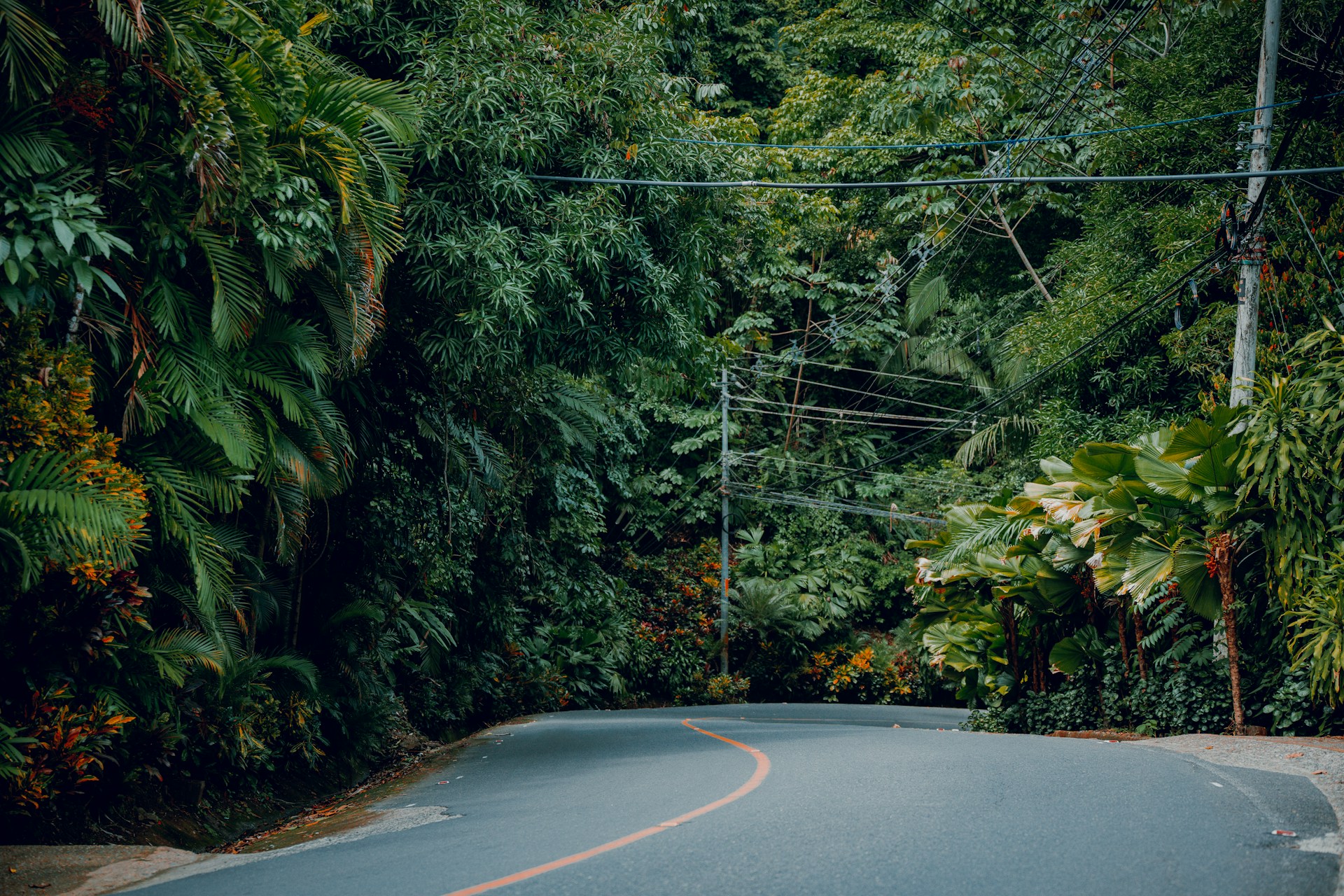
The Route 239 section is a paved two-lane mountain road. It received significant work in 2019, including gabion retaining walls near Puriscal to stabilize the roadway. It is scenic and it is also curvy, steep and slow. Drivers familiar with the corridor consistently describe it that way. You are not going to make up time on it, and a slow vehicle ahead of you sets your pace until there is somewhere to pass.
The Route 27 section is a modern tolled highway carrying heavy volume. Figures from the transport ministry have put daily traffic on the route as high as 78,000 vehicles. It is fast when it moves. It does not always move. That combination is why estimates vary so widely. The mountain section is slow but predictable. The highway section is fast but volatile. Your total is mostly determined by which direction you are traveling and at what hour.
Where the time actually goes
Peak-hour congestion on Route 27 heading east into Santa Ana, Escazu and San Jose in the morning, and back out in the evening, is the single largest variable. This is the same congestion every western-suburb commuter faces and it is not specific to Puriscal.
Rainy season conditions on the mountain section. Costa Rica’s wet months bring reduced visibility, standing water and occasional slides on secondary mountain roads. Route 239’s 2019 stabilization work addressed known problem areas, but weather still slows this section materially.
Time of day on Route 239 itself. Local traffic, agricultural vehicles and school transport all affect a two-lane road with limited passing.
A trip made at 10 a.m. on a dry Tuesday and the same trip at 5 p.m. on a rainy Friday are not the same trip. Anyone quoting a single figure without saying which one they mean is not giving you usable information.
Tolls and running costs
Route 27 is a toll concession. Light vehicles pass through trunk plazas at Escazu and, depending on how far west you go, San Rafael, Atenas and Pozon, plus satellite plazas including the Ciudad Colon ramp where Puriscal traffic joins. Individual charges are small. The Ciudad Colon ramp for a light vehicle has recently sat around 200 colones, with the Escazu trunk plaza around 400. Rates are reviewed quarterly and adjust with the dollar exchange rate, so exact figures move. The point is not the amount but the structure: a daily commute means paying tolls twice a day, every working day, and that belongs in any honest cost-of-living calculation.
Getting there without a car
Direct bus service exists but is limited. Scheduled service between the Puriscal area and San Jose runs on the order of two hours and 15 minutes, with direct departures only twice daily on some routes, at fares in the range of six to nine dollars. Reaching the airport by bus requires transfers and takes several hours. For a resident with a car this is irrelevant. For anyone modeling a development where buyers might not drive, it is not.
What this means
Be clear-eyed about what these numbers describe. Puriscal is not a San Jose commuter suburb. Ninety minutes each way, on a mountain road, through a congested highway corridor, with tolls, is a genuine daily commute in the sense that people do it. But it is not Santa Ana, and pretending otherwise sets up a buyer for disappointment that surfaces after closing rather than before.
What it is, is a location roughly 90 minutes from a capital city and an international airport, with the price of land reflecting that distance. That trade is the entire proposition. The relevant question for a developer is not whether the drive is short. It is whether the buyer profile you are selling to values the distance more than it minds the drive.
Those buyers exist in numbers: remote workers who go to the city weekly rather than daily, retirees whose airport trips are seasonal, second-home buyers, and people who deliberately want separation from the metropolitan area. They are a different market from daily commuters, and they are the market this corridor actually serves. A development that markets itself to the first group and sells to the second has a problem. One that understands which it is selling to does not.
Measure it yourself
If you are seriously evaluating property in this area, drive it. Not once, but at least twice, in opposite conditions. Drive it inbound on a weekday morning arriving around 8 a.m., and outbound on a weekday evening leaving the city around 5 p.m. Do it in the rainy season if you can. Time it from the actual parcel, not from the town center, because those are different starting points. An afternoon of driving will tell you more than any figure published here or anywhere else, including by sellers. That includes us.
This article is general information. Drive times vary with conditions and the figures cited are third-party estimates, not measured times. Toll rates are reviewed quarterly and change. Verify current conditions and rates before relying on them.
2 thoughts on “How Far Is Puriscal From San Jose and the Airport”
Comments are closed.